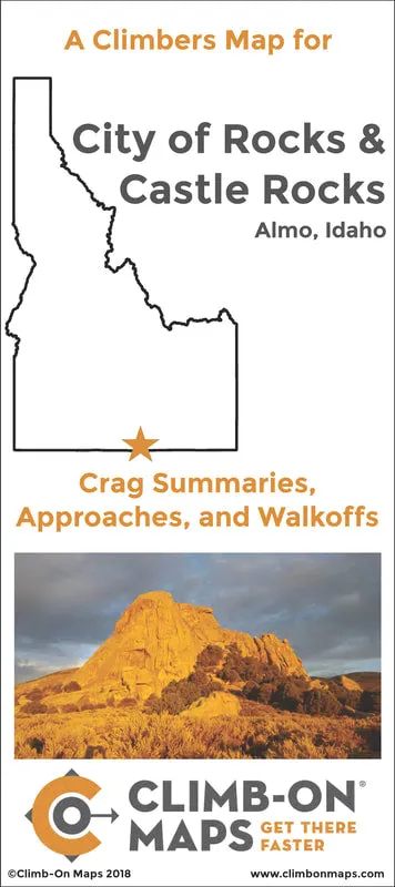
We go to climb, not waste time! This is an indestructible, detailed rock climbing approach and walk-off trail map for both City of Rocks National Reserve and Castle Rocks State Park, ID. This map complements Mountain Project and area guidebooks and picks up where they left off - the maps. There are labeled orientation photos, trail difficulty ratings, points of exposure, and the most comprehensive route data summaries for each climbing wall in the area (# routes, distribution of grades, and climb type). Plan your climbing day at a glance (distance/difficulty/type of climbing), find easier ways to get to a wall, avoid dead-end trails or trails that go nowhere, go to new areas you haven't yet explored. It is light and easy to use and carry, just toss it in your bag.
- 24" x 36" fold-out map (4" x 9" folded).
- Printed on waterproof/tearproof paper.
- 2-sided.
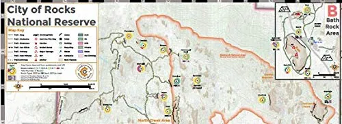
- Detailed, close-up maps showing you exactly where to go (1:3000 scale).
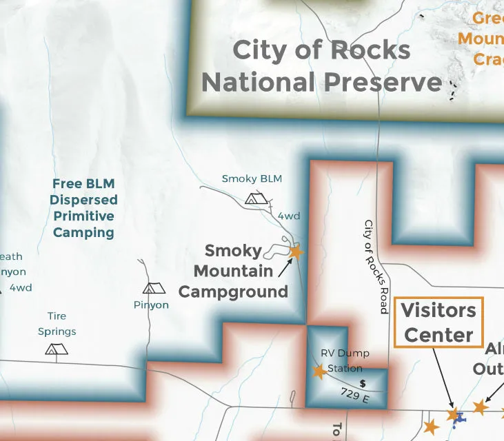
- Includes overview maps with camping and amenities.
- Clearly shows off-limit areas.
- Crag Summaries so you can plan your climbing at-a-glance.
- Trail difficulty ratings (easy, moderate, strenuous, ass kicker).
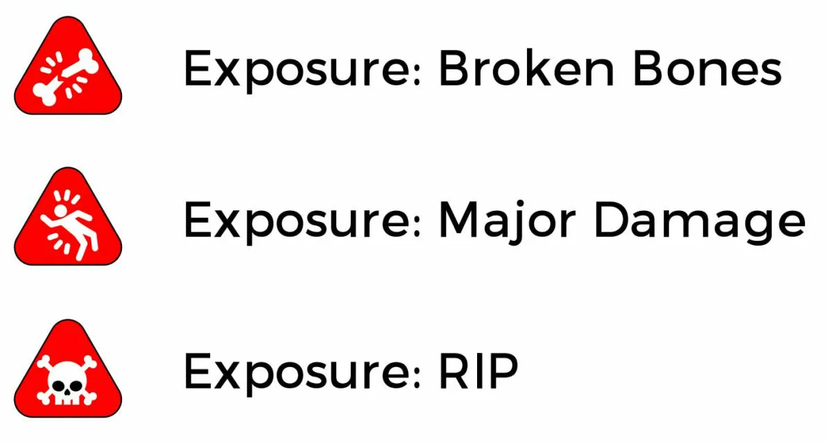
- Points of exposure (broken bones, major damage, Rest In Peace - RIP).
- Crag summaries (distribution of climb types, grades, number of multi-pitch and aid climbs).
- NEW - number of R/X climbs at a wall!
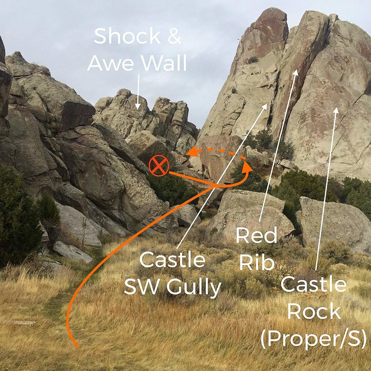
- Orientation photos from angles you will see from the trail.
- Weight 48 grams.
- Made in USA.
- For more details visit .

 Cart(
Cart(